
Remote Sensing
for
Electric Utility Applications
| |
| >>Electric Utility |
| Home |
| Electric Utility Solutions |
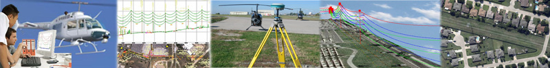
XP-RS focuses on providing geospatial data and engineering services for electric transmission applications. The company offers engineering design data suitable for XP-RS uses a range of airborne remote sensing technologies to provide the best balance between price and performance for its customers. Data acquisition can be undertaken using fixed-wing or rotary-wing aircraft according to the project specification. For example, helicopters often provide the best LiDAR |
| LiDAR Surveys | 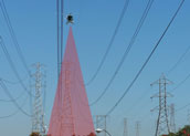 |
|---|---|
| GIS Solutions | 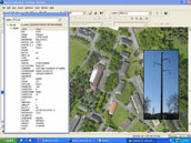 |
| Vegetation Mapping | 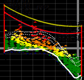 |
| Inspection | 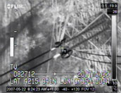 |